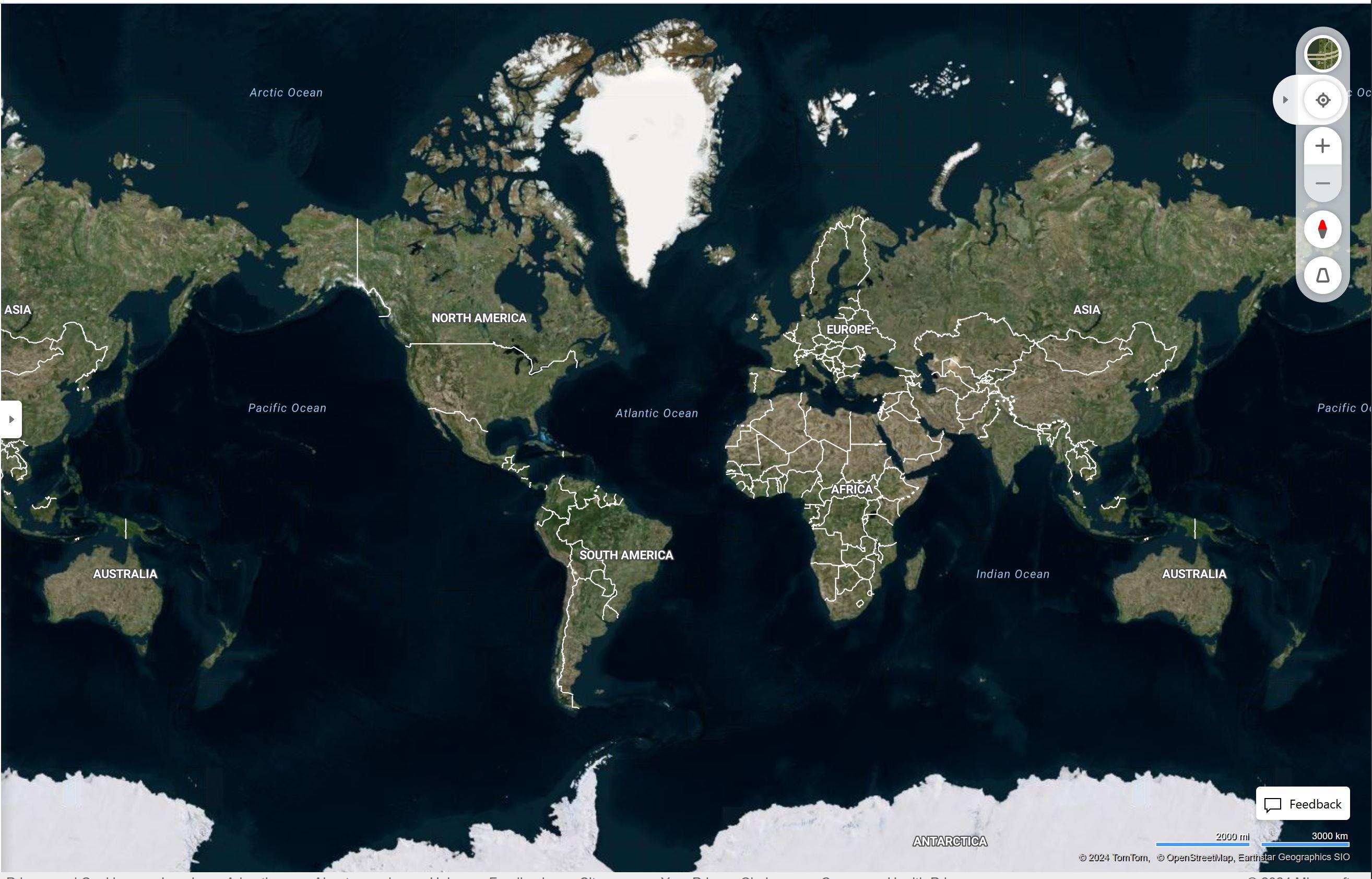
The Antarctic is colder than the Arctic, yet for some reason there is more sea ice in the north leading to it not being shown on maps. Oh, and the only glaciers depicted are in Green land, so named for reasons. And no detailed topography. That doesn’t make much sense.
(media.conspiracies.win)
Speculation

Interestingly enough, they used to show the ice at the north pole.
Any of us who used google earth when it first came out remembers this.
I agree with you though, it is weird that they dont show this anymore. Google search brings up lots of answers from "We dont show anything that isnt land" to "projection distortions."
https://www.gearthblog.com/blog/archives/2016/12/santas-base-remains-secret.html
Just sounds like a bunch of weak excuses to me.
But from what I am aware of, both poles are melting faster, the top one is supposedly melting a little faster. I know that ships seem to be taking advantage of that northern route which is starting to open all year round now.
https://www.thearcticinstitute.org/future-northern-sea-route-golden-waterway-niche/
https://www.highnorthnews.com/en/russia-begin-year-round-shipping-entire-northern-sea-route-2024
Who knows.