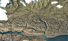
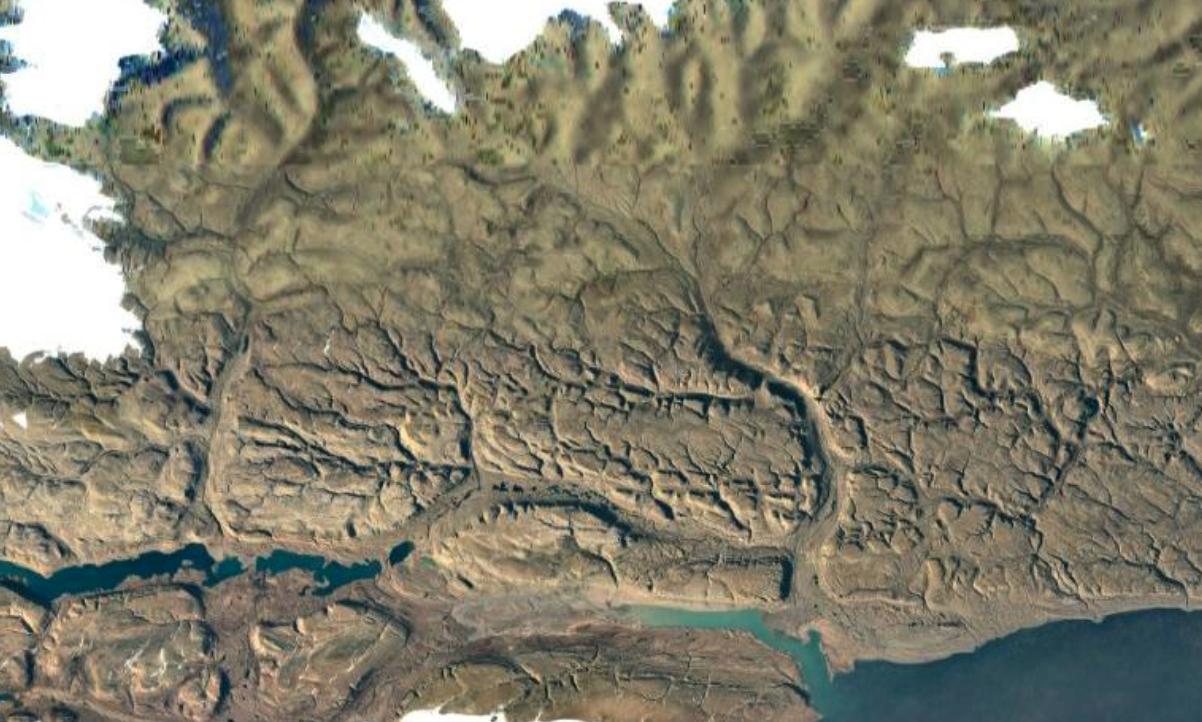
7 The Satellite Earth Lie. Why is the southern portion of Melville Land, in Greenland, SO much clearer than the northern part? Satellites fly over the north pole all the time, why can't they get crisp photos? (media.scored.co) posted 1 year ago by StormzAComing 1 year ago by StormzAComing +8 / -1 11 comments share 11 comments share save hide report block hide replies

You’re probably exactly right. I can’t make sense of my reply after reading it again.
Your assessment is right, I just don’t think that’s the “why” the images over the poles are shit.