So there's different satellites and the images we see are essentially comprised of many images stitched together. They prioritize the satellites with higher temporal and spatial resolution over areas of increased interest.
No you totally ignored what i said just to be contrarian. We're saying the same thing. They prioritize taking images over areas of interest which means more frames 🤦♂️
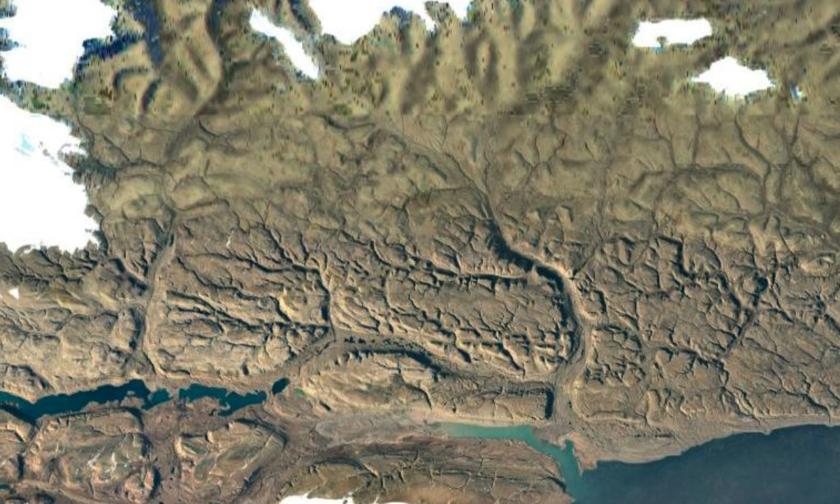