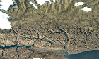
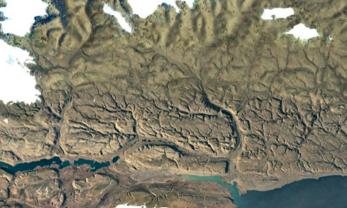
8 The Satellite Earth Lie. Why is the southern portion of Melville Land, in Greenland, SO much clearer than the northern part? Satellites fly over the north pole all the time, why can't they get crisp photos? (media.scored.co) posted 4 years ago by StormzAComing 4 years ago by StormzAComing +8 / -0 11 comments share 11 comments share save hide report block hide replies
No you totally ignored what i said just to be contrarian. We're saying the same thing. They prioritize taking images over areas of interest which means more frames 🤦♂️