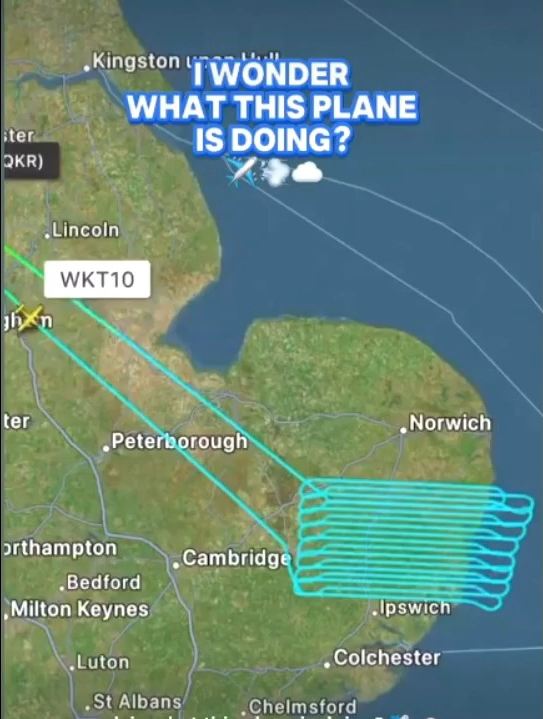
17 You can now follow your favorite chem plane online (media.scored.co) posted 2 years ago by donpon 2 years ago by donpon +17 / -0 12 comments share 12 comments share save hide report block hide replies

Ask around and you'll find most people think the "Satellite" layer on Google maps is done with satellite photography rather than aeriel.
No-one, I'm implying this was aerial photography
it's not my subject so I don't know how to look into it, nor am I suspicious.
the simple question would be: is this unusual?